
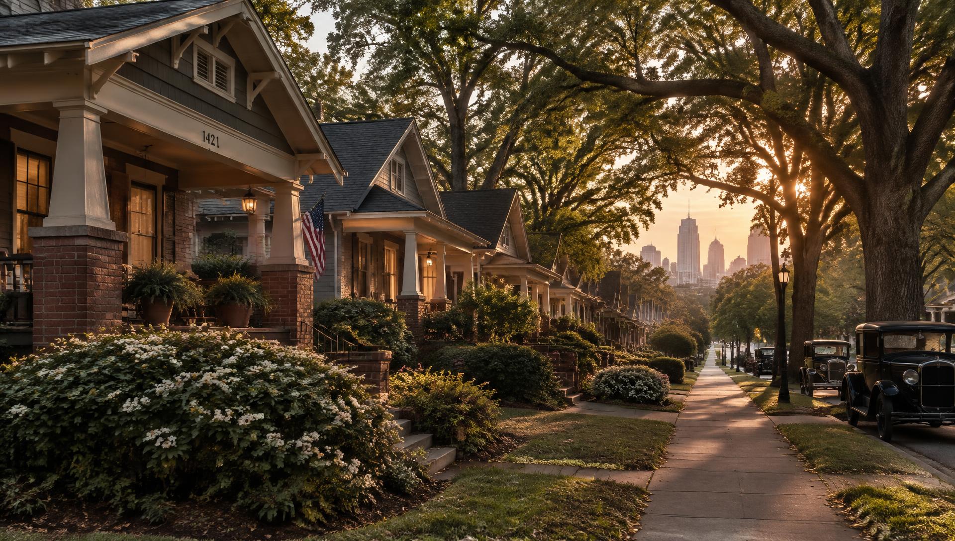
Central Charlotte · Mecklenburg County, NC
Wesley Heights & the West End
Close to the City. Full of Character.
Explore distinct neighborhoods just west of Uptown, where historic homes, enduring community institutions, local businesses, greenways, and Gold Line connections shape everyday Charlotte living.
Our network · Home & property
Find the Right Expertise for Your Home
From finding your next home to shaping the spaces within it, explore the businesses in our network for real estate, interior design, construction, and home technology.
01 · Real Estate
Your Leader in Luxury
Luxury real estate, buying, selling, and representation.
Explore Luxury Real Estate02 · Real Estate
Peters Team Realty
Real estate, buying, selling, and representation.
Connect with Peters Team Realty03 · Interior Design
Emerald Oak Design
Interior design for the spaces within your home.
Explore Interior Design04 · Building & Renovation
Peters Custom Homes
Custom home building and renovations.
Plan a Custom Home or Renovation05 · Building & Renovation
Peters Signature Homes
Spec home construction.
Explore Spec Home Construction06 · Audio & Home Technology
Peters Audio Video
Audio, video, and home technology.
Explore Audio & VideoOur network · Geographic guides
Explore the Region
View All Websites →Compare the West End with city neighborhoods, nearby towns, and lake communities through the editorial websites in our network.
- Discover Uptown Charlotte
Uptown Charlotte
- North End Charlotte Living
North End Charlotte
- South End Charlotte Living
South End Charlotte
- Plaza Midwood Living
Plaza Midwood
- Belmont Living
Belmont, NC
- My Lake Norman Living
Lake Norman
Six neighborhoods. Six distinct stories.
Wesley Heights, Seversville, Smallwood, Lincoln Heights, Biddleville, and Enderly Park sit west and northwest of Uptown. They are neighbors, not a single place — with different histories, streetscapes, housing, and relationships to the city center.
This guide treats them that way: specific, sourced, and practical, with official links for anything that changes.
How we define the West End →Neighborhood guides
Explore the Neighborhoods
Wesley Heights
An early-twentieth-century neighborhood on a ridge just west of Uptown, known for porches, mature trees, and a mix of restored homes and newer infill.
- — Developed primarily in the early decades of the twentieth century
- — Portions are a designated Charlotte local historic district — verify by parcel
Seversville
A residential neighborhood west of Wesley Heights, with a mix of older cottages and newer homes near the Stewart Creek corridor.
- — Located west of Wesley Heights, toward Stewart Creek
- — Mix of modest older homes and recent infill construction
Smallwood
Research in progress
A neighborhood northwest of Uptown, closely associated with Biddleville in some sources, with varied street patterns and housing.
- — Northwest of Uptown, near Biddleville
- — Some city and community sources use combined Biddleville-Smallwood terminology
Lincoln Heights
Research in progress
A northwest Charlotte neighborhood with its own development history and relationship to the Beatties Ford Road corridor.
- — Northwest of Uptown, near the Beatties Ford Road corridor
- — Not directly served by the Gold Line at every address
Biddleville
One of Charlotte's historic Black neighborhoods, growing up around the institution that became Johnson C. Smith University.
- — Takes its name from Biddle Memorial Institute, today Johnson C. Smith University
- — A historically significant Black neighborhood in Charlotte
Enderly Park
Research in progress
A west Charlotte neighborhood with its own identity and housing patterns — distinct from Wesley Heights and its historic district.
- — West of Uptown, beyond Wesley Heights and Seversville
- — Not part of the Wesley Heights historic district
The West End Edit
History that still shapes the place
Institutions, architecture, and the neighborhoods that grew around them.
Understanding the Historic West End
What the name means, which neighborhoods it can refer to, and why the boundaries depend on who is drawing them.
Biddleville and the Making of a Historic Black Neighborhood
The neighborhood that grew around Biddle Memorial Institute, and how to research its history responsibly.
Johnson C. Smith University and the West End
A historically Black university at the heart of the Historic West End — its history, its neighbors, and how to visit.
Wesley Heights: Architecture and the Local Historic District
How to read Wesley Heights' older homes, and what its local historic district status does and does not mean.
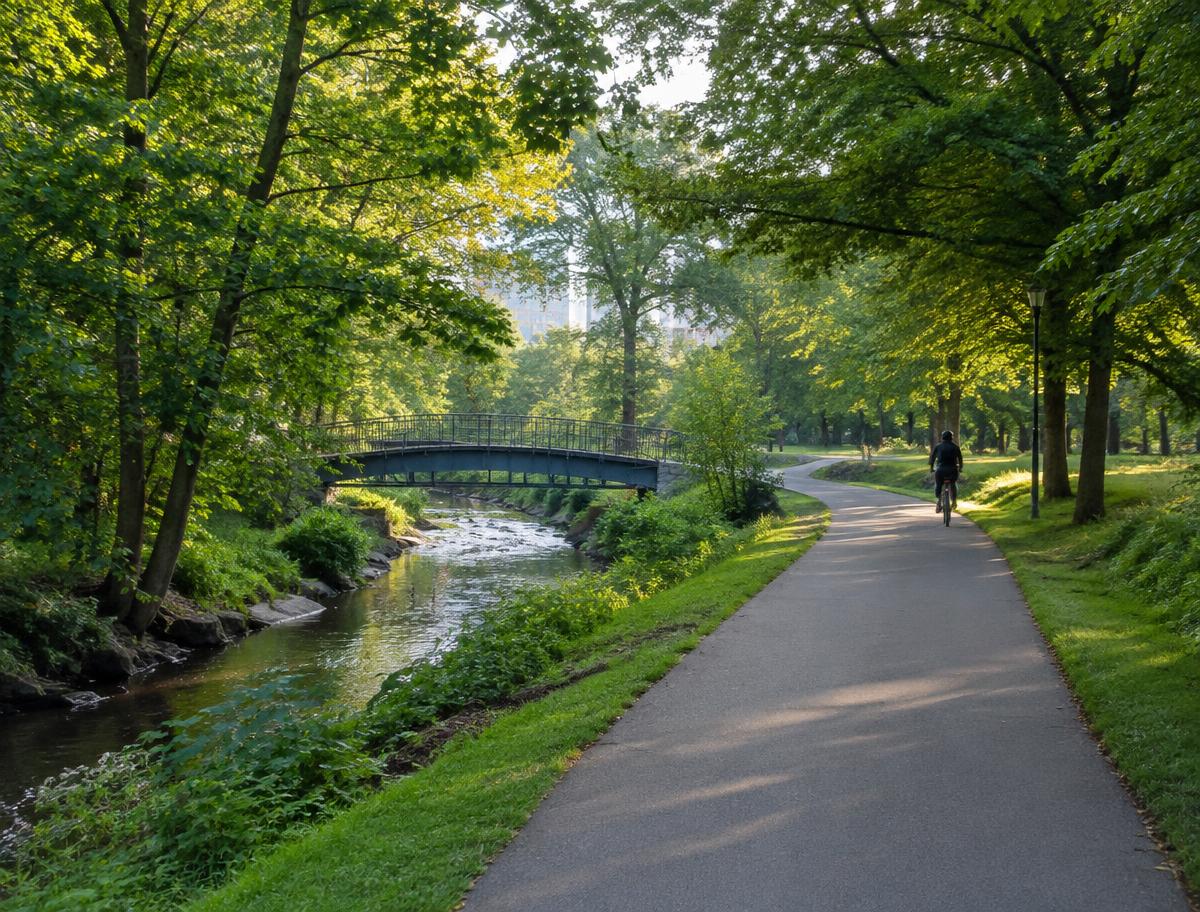
Outside, close to home
Frazier Park & Stewart Creek
County-managed parks and greenway sections. Not every segment connects — check the official map before you set out.
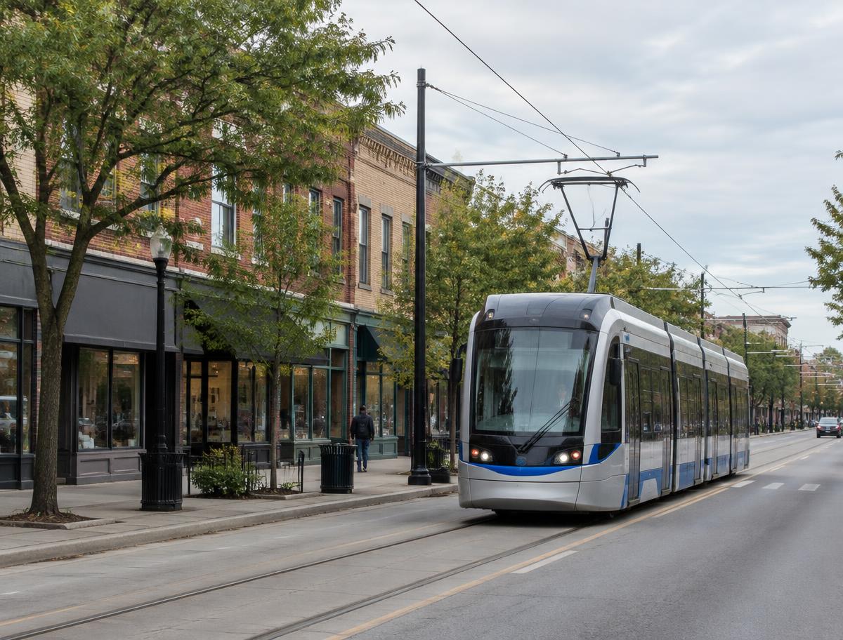
Connected to Uptown
Gold Line, driving, walking
The Gold Line streetcar runs along West Trade Street toward the Johnson C. Smith University area. A short drive is not a short transit trip — plan from your actual address.
Homes with character
Find Your West End Home
Historic & Character Homes
Older homes with distinctive architecture — and how to evaluate them beyond the listing photos.
Bungalows
One-and-a-half-story homes with porches — some genuinely Craftsman, many simply bungalow-form.
Townhomes
Attached homes near Uptown — what to compare on construction, HOA, and location.
Condominiums
A smaller segment of the area's housing — HOA health matters most.
New Construction
Infill homes and townhomes — what to verify about the builder, the lot, and the warranty.
Homes Near the Gold Line
How to verify streetcar convenience for a specific address.
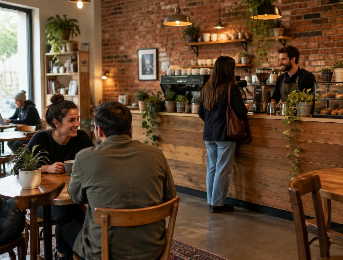
Local tables & gathering places
We list businesses only after verifying them. Owners can submit details for review.
What's happening
Events & official calendars
- Johnson C. Smith University events ↗
- Mecklenburg County Park & Recreation programs ↗
- Charlotte Mecklenburg Library events ↗
Find Your Place in the West End
Buying guidance, seller consultations, neighborhood questions, and business or event submissions.